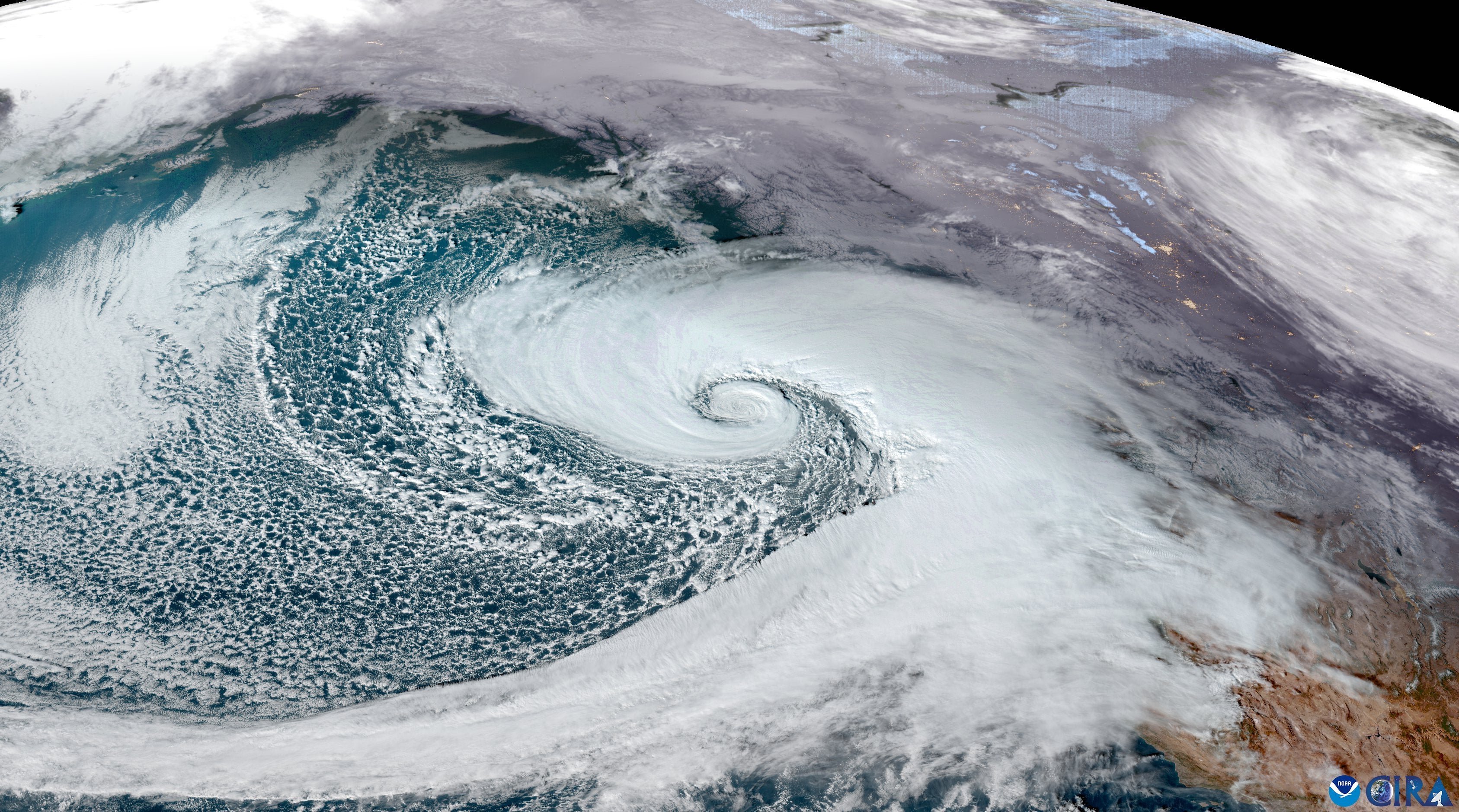
A massive “bomb cyclone” continued to bear down on the Pacific Northwest on Wednesday, knocking out power to hundreds of thousands and causing the death of at least two people.
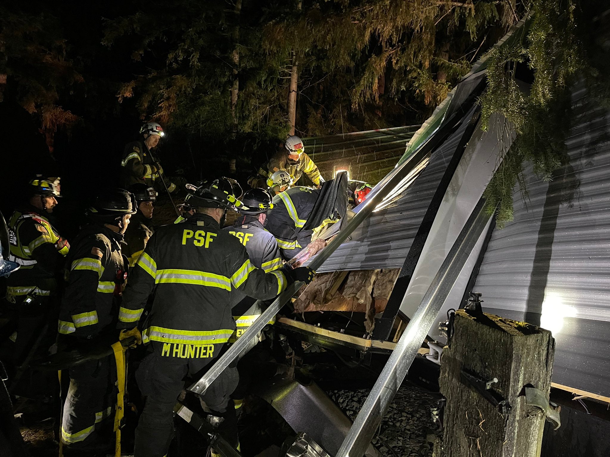
Two Washington women were killed by falling trees on Tuesday in King and Snohomish Counties. Two other people were injured and transported to a south Seattle hospital.
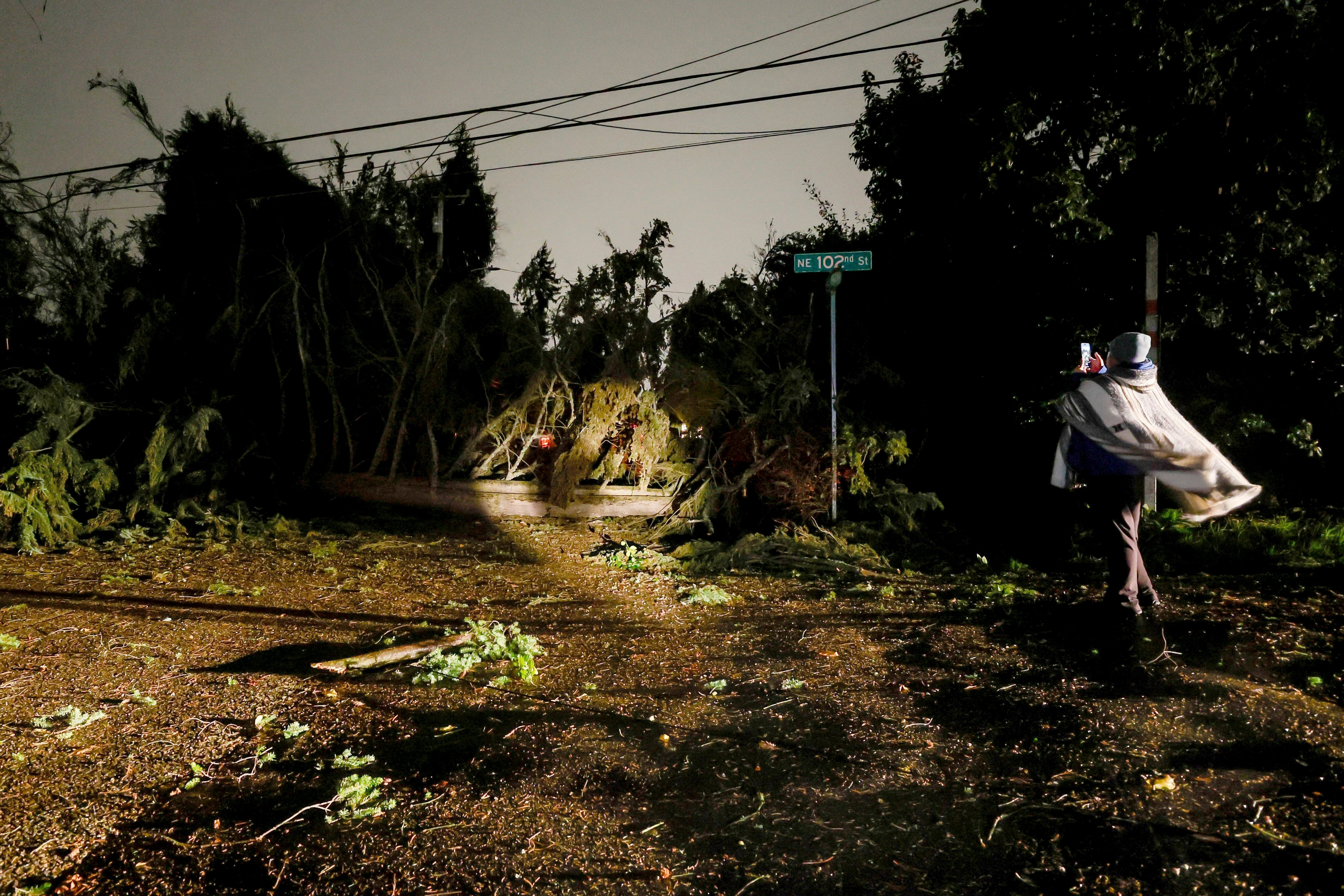
Trees blocked highways and other roads and damaged buildings and cars in downtown Issaquah. Drivers are advised to follow road closures and the state Department of Transportation says they are working to clear the debris. Several mudslides were also reported.
A Seattle-bound Amtrak train crashed into a tree near the Stanwood station, according to FOX Weather. The train was pulled over, but no passengers were injured. The ferry route will not operate until further notice.
Utility companies say they are working to restore power, but road conditions are difficult.
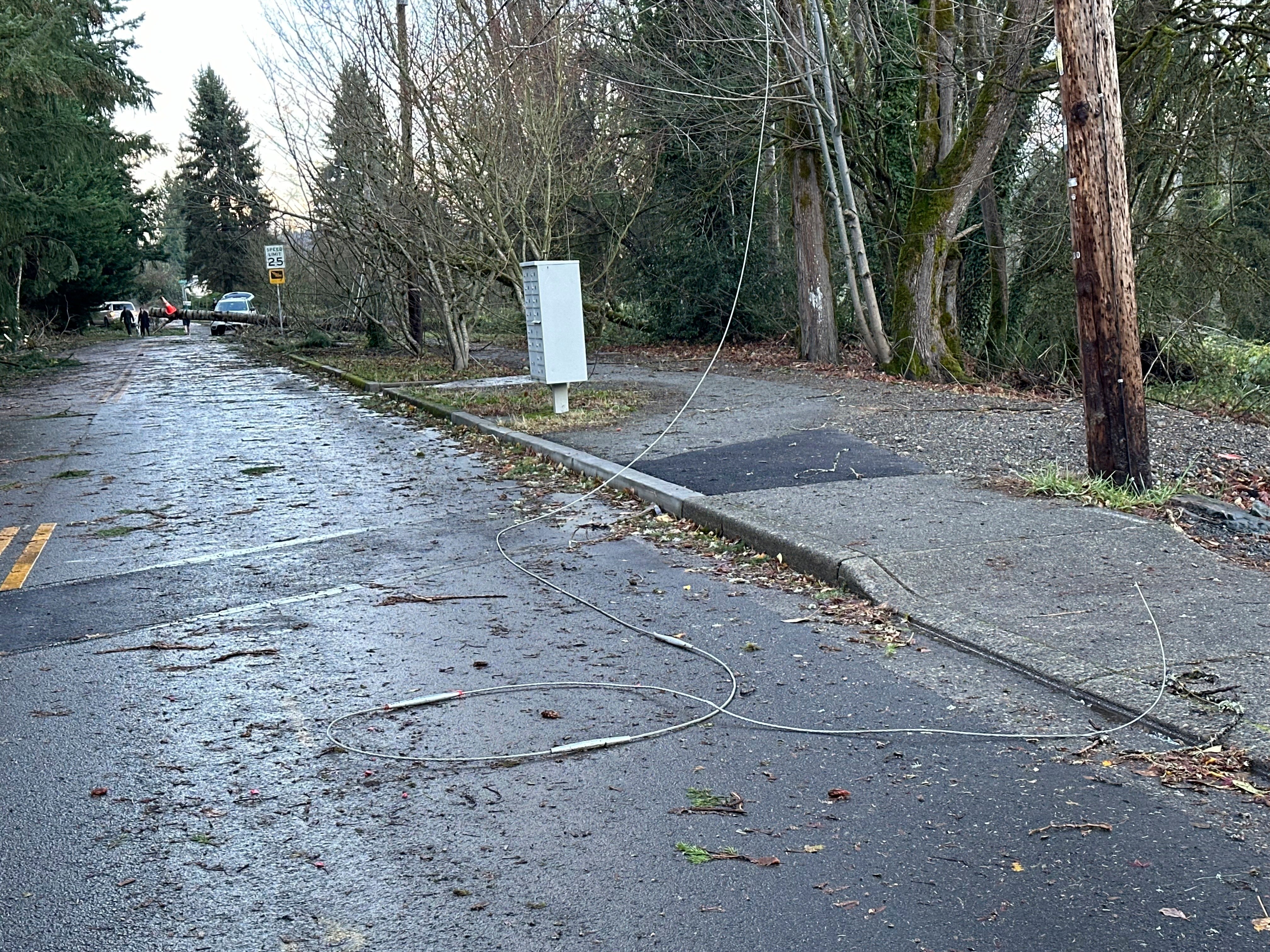
“All of Neah Bay is out, but the crew is not able to fix the problem because of trees and mudslides,” Callam County public utility district said Wednesday. “Crews in Sekiu have completed restoration there and will return to Neah Bay once WSDOT clears the road.”
The PowerOutage.US tracker shows more than 491,000 customers without power in Washington, more than 5,600 in Oregon, and nearly 35,000 in California.
Many schools were closed across the country on Wednesday, and others had delayed starts. School buses for the Renton School District picked up students two hours late.
The stunning storm brought high winds and blizzard conditions to higher elevations that are expected to continue Wednesday throughout the Cascade Mountains.
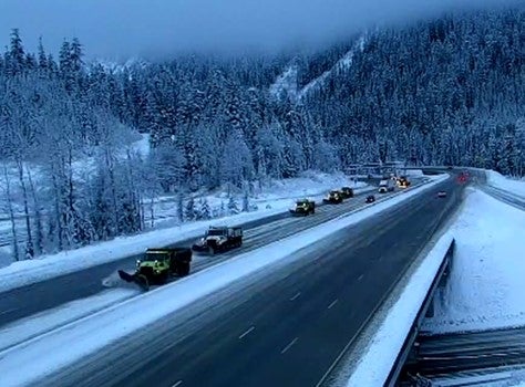
More than a foot of snow fell around Snoqualmie Pass and several inches of rain were reported in Quinault, Oregon, and California. Snow continues to fall around Washington on Wednesday and some sleet is possible in coastal areas.
Seattle’s National Weather Service office said the storm’s highest sustained winds, recorded on Vancouver Island, were 101 miles per hour. Most people can’t stand winds up to 50 miles per hour and some places see hurricane force winds. The office radio transmission was disrupted by the storm.
The agency said winds will gradually decrease during the afternoon, as a low pressure system moves out of the area.
In neighboring Oregon, hurricane-force winds – gusts over 75 miles per hour – were also felt on the coast. A special weather statement was also issued on Wednesday.
On the coast, many of the threats began on Wednesday, as an atmospheric river associated with the storm made landfall in California’s San Francisco Bay Area.
Flooding was reported in streams and creeks in Sonoma County, and the National Weather Service’s Bay Area office reported rain was between 1.5 and 2.5 inches over the last six hours. Flood advisories were issued across the country, and the Bay Area and Central Coast are expected to see the impact of the plume of moisture through the end of the week.
“The heaviest rainfall is anticipated in the North Bay, where 10 to 15 inches of rain is forecast. This will increase the threat of flooding. Remember to avoid flood-prone areas!” offices are warned.Dangerous wave action on the coast is also expected.
More than 10 inches of rain is likely to raise the risk of life-threatening flash flooding, rock slides, and debris flows from the northern California coast to the mountainous terrain.
The National Weather Service’s Sacramento office issued a wind advisory, warning that gusts could reach 45 miles per hour.
A second low pressure system is forecast to develop and strengthen the Northwest coast on Friday which will help to “amplify” atmospheric rivers and increase the threat of flooding. Stronger winds are anticipated throughout the Northwest to end the week.
Bomb cyclones, known technically as bombogenesis, occur when the central pressure of a storm drops by at least 24 millibars in 24 hours. Satellite images show the strength of this bomb cyclone.
The last bomb cyclone hit the Pacific Northwest in January, with California receiving most of the storm’s impact.


